Land Yacht

Land Yacht
Ernie and Bert

Monday, August 24, 2015

Escalante part 2

Thursday, August 13th.  Everyone we talked to said if you only do one hike while you are in Escalante do the hike to Lower Calf Creek Falls.  So that is where we spent our first day.  It is 3 miles in to the falls, so a 6 mile hike total.  They have a brochure with viewpoints they have marked along the trail, so we stopped at the overlooks and learned from the brochure.  The reward at the end of the trail is Calf Creek Falls.  They fall into a small pond before continuing down the river.  There were about 30 other people there when we were.  Many were swimming. Some teenagers were trying to slide down the rock beside the falls.  It looked like fun but many were rubbing their fanny after they did it.  It was too cold for us.  We did get in up to our knees to cool off.  We enjoyed our picnic lunch there before heading back.


Petroglyphs


Great Blue Heron on the cliff


First view of the falls coming up the trail


Teenagers sliding on the rocks


Us in front of the falls


Lower Calf Creek Falls


Escalante, UT Part 1

On Wednesday, August 12 it was time to move to Escalante, UT to The Canyons of Escalante RV Park.  It was only a 65 mile drive so we slept in and had a lazy morning and were on the road by 10:30.  The route to Escalante from Torrey is down Scenic Highway 12.  It is one of the top 10 scenic highways in the USA.  We agree it should be in the top ten !!!  It is also in our book of roads to be aware of because of the steep grades !  We saw a 14% grade twice, one for 4 miles and one for 2 miles, but most were in the 6-10% range.  The RV and Wayne did a great job.  Highway 12 goes from Torrey, Utah to just past Bryce Canyon/Red Canyon and is 122 miles long.  If you would like to know more you can read about it here.


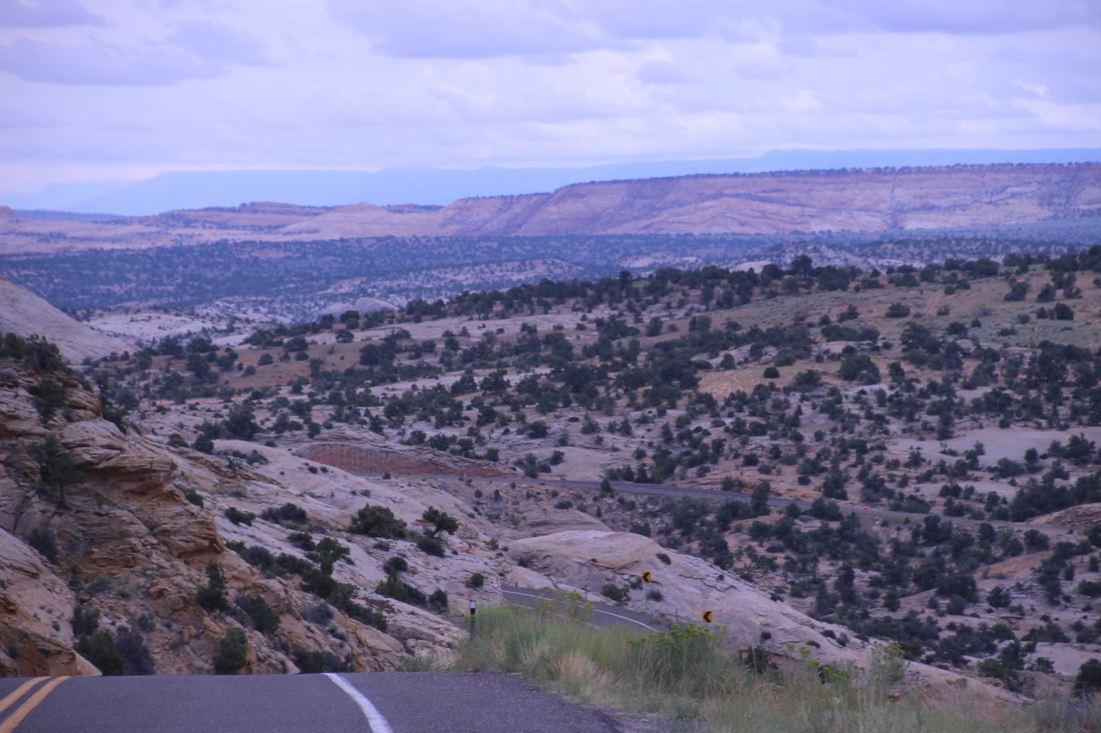
From Torrey to Boulder the views are of green mountains with Pine and then Aspen as you get up to higher elevations.  The overlooks show you the valleys below of white, red, green and yellow rocky cliffs.  After you pass Boulder those cliffs and valleys surround you.  There are breathtaking views in every direction.  You cross over what is known as the Hogback where there is little to no shoulder and you have sheer drop offs on either side with amazing views. Escalante is on Highway 12.  (Note: we have now driven the entire length of Highway 12, some sections multiple times.  I will post pictures here that I took on the drive from Torrey to Escalante.  There will be more later.)

After getting set up we drove over to the visitor center and saw the video.  Then we walked around town.  Escalante has a population of 800 people.

The first 4 pictures are between Torrey and Boulder.  The rest are between Boulder and Escalante.  All along Highway 12.


The haze is smoke from fires that are burning in other states


Friday, August 21, 2015

Torrey, UT Part 5 last day in Torrey

Tuesday, August 11 was our last full day in Torrey, UT and to enjoy Capitol Reef.  It was rainy in the morning and the weatherman was not promising much improvement.  Capitol Reef is a beautiful park.  We decided it was worth going back to the Panorama Point and Gooseneck Overlook and hike to Sunrise Point.   There is also an original blacksmith shop and a school from when the Mormon's first settled the area.  As you drive along you also see old pieces of farm machinery that they are using as decorations.  So we did one last pass through to take pictures.


Gooseneck


Old Blacksmith Shop


Old covered wagon base


Old School House


Thursday, August 20, 2015

Torrey, UT Part 4

On Monday, August 10 we hiked to Butch Cassidy Arch in Capital Reef National Park.  Butch Cassidy may or may not have ever been at this arch, but if he was I would have let him stay instead of trying to sneak up and capture him ! It is hidden and you can see anyone coming for a LONG way.  He was known to be in the area at one time but they are not sure if he was ever at the arch. We are doing a lot of hikes but each one has its own unique features, with Butch Cassidy it was a LONG walk across, up, down and over slick rock.  Total the hike was a little over 3 miles.  The first segment was up the side of the cliff then you wind around the edges until you get to the slick rock.  The arch can be seen from the front when you are about half way but the hike is to the back of the arch.  It was a fun but strenuous hike for a great reward at the end.


Our afternoon was a trip to the nearest grocery store in Loa which is 20 miles from Torrey.  Still a small store compared to what we are used to, but they did have a decent produce section.  There is a General Store in most towns that carry a little of everything including a few can goods and boxed food and most have some milk, eggs and juice.  So even a small REAL grocery store is nice to find.


Up the cliff...yes this is the trail


Around the side of the mountain


Amazing views


That's it WAY over there !


We still have to go around this to get there


Yes, those are trail markers !


Across the slick rock we go


View from the back of Cassidy Arch


Wayne on top of the world


From where Wayne was standing...on the road below from where we drove into the parking lot  is a 40' RV 


See the dip between the two mountains...the parking lot is down there.  We have to hike along the rim to get there, then back down.


Torrey, Utah Part 3

On Sunday, August 9th, we took Scenic Utah 12 to Boulder, Utah.  In Boulder we took the Burr Trail to Notom Bullfrog Road which took us back to Capitol Reef.  A total of 127 miles with half of it being dirt roads.  This takes you through part of the Escalante Grand Staircase National Monument. The lady at the visitor center told us about a small unnamed slot canyon that we should check out. Burr had this trail to drive his cattle across the mountains including going down the switch backs.  We stopped for a picnic along the way at Surprise Canyon and did the hike there.   We were not real happy with the surprise at the end of Surprise Canyon.  We got to the end to find a sheer rock wall.  There was no way to scale it without equipment.  The surprise, if we could have seen it, is a beautiful little green valley. It was a beautiful drive that lasted all day.  It was very difficult for me to choose just a few pictures to post !!!

Petrified Sand Dunes


 Inside the Slot Canyon

Loved the colors in the slot canyon


Do you see the little arch on the left ?


Burr Trail Switchbacks from the top, over a 1000 feet down


Another view of the switch backs


All we needed was some shade...maybe we need to take an umbrella next time !


The trail to Surprise Canyon


Hike in Surprise Canyon


Even Billy Goat Wayne would need climbing gear to get up to see the surprise!